PROJECT DEVELOPMENT
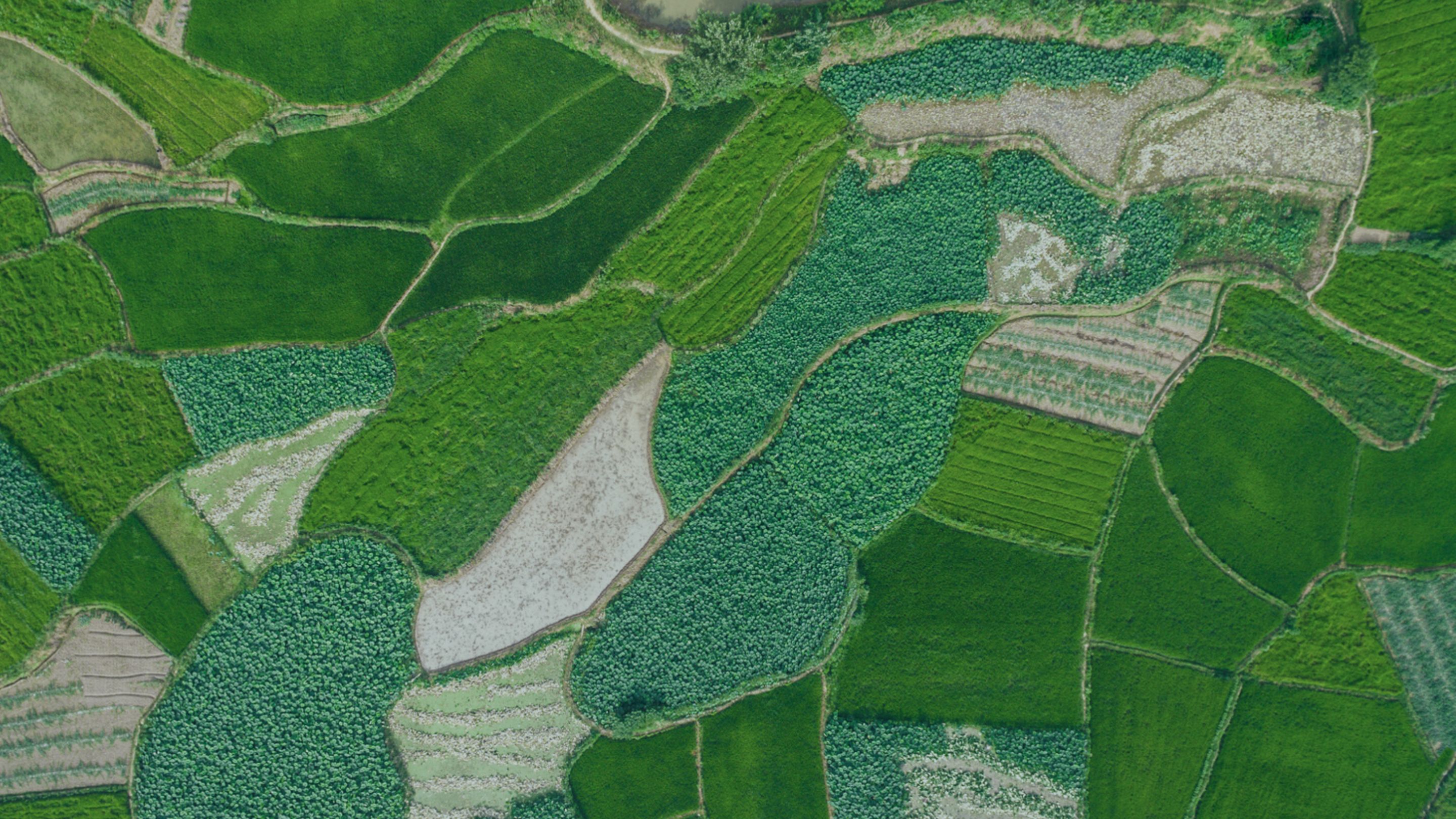
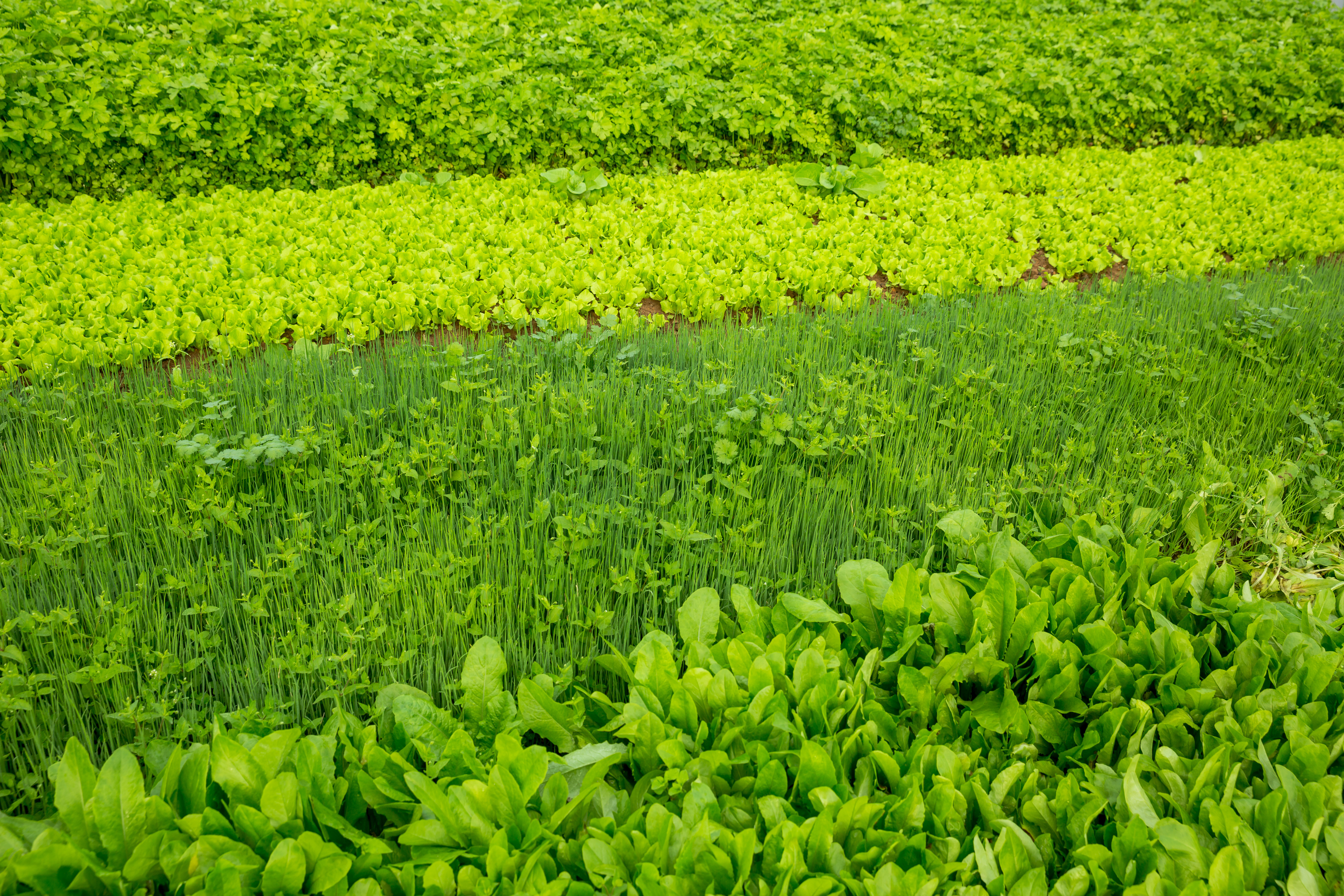
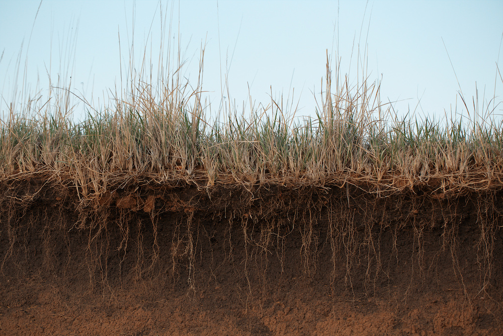
Partnering for Regeneration
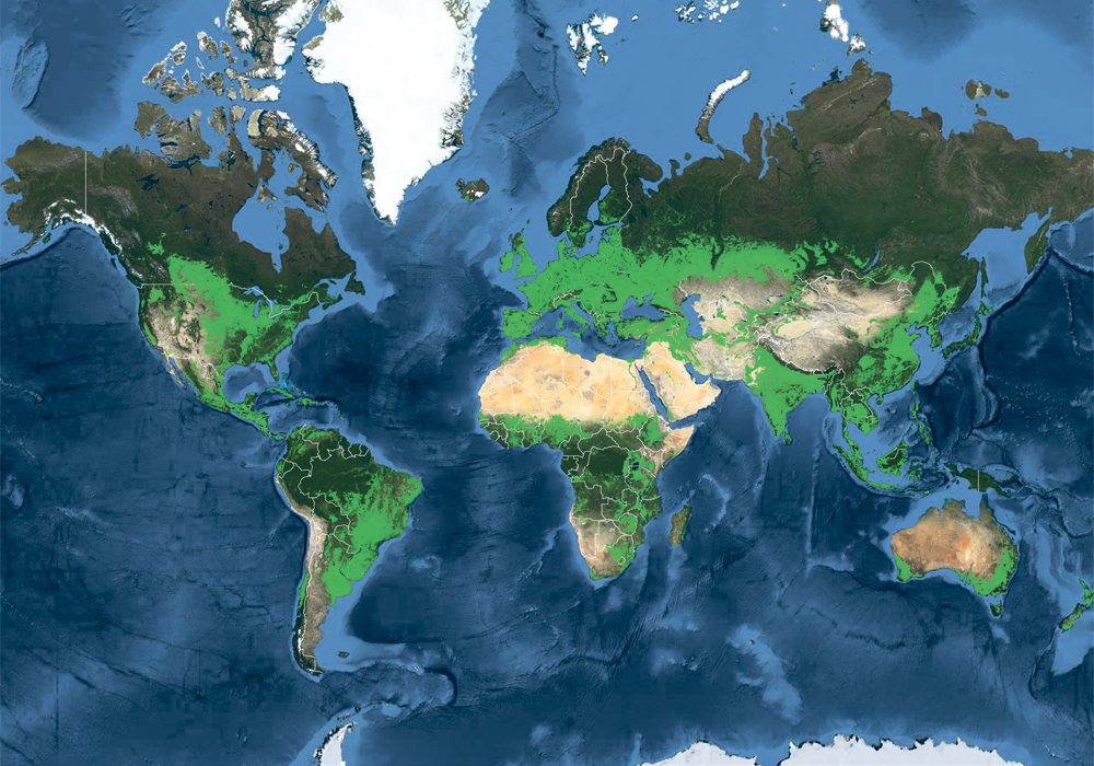
With the Boomitra app and our global partner network, we help farmers and ranchers adopt agricultural practices to increase carbon sequestration. With deep experience developing large-scale soil carbon projects across Latin America, Africa, and Asia, Boomitra co-designs programs with producer networks, NGOs, agribusinesses, CPG companies, and governments. We pair practical field support with transparent revenue sharing so producers—from smallholder farmers to ranchers managing thousands of acres—can implement improved land management practices. The result: healthier soils, higher productivity, more resilient livelihoods—and carbon finance that flows back to local land stewards.